Portfolio
Clustering and Classification
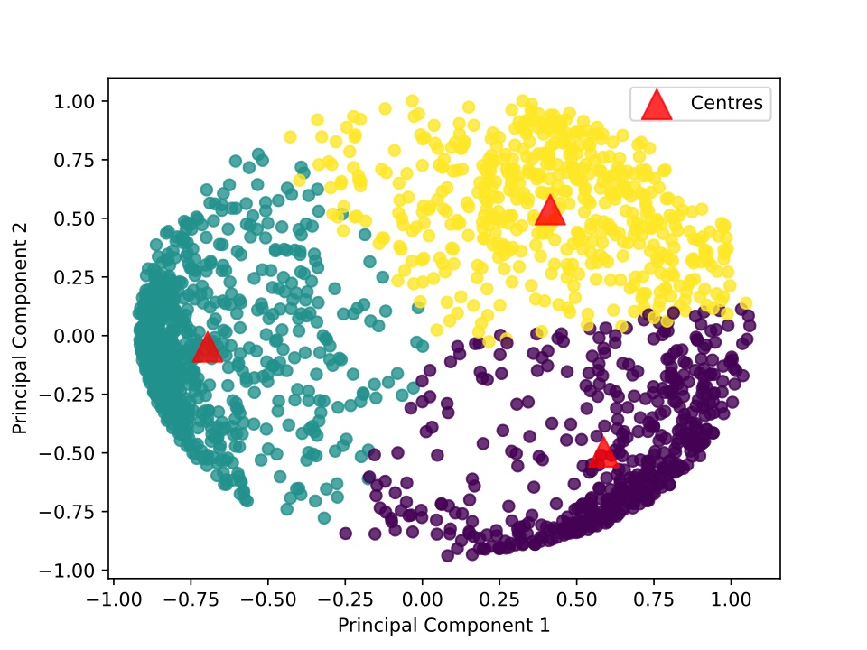
A university project as a part of a Data Mining course data-mining. I used the scikit-learn's implementations of the clustering algorithms DBSCAN and OPTICS to cluster some weather data from Basel, Switzerland.

Landslide Susceptibility
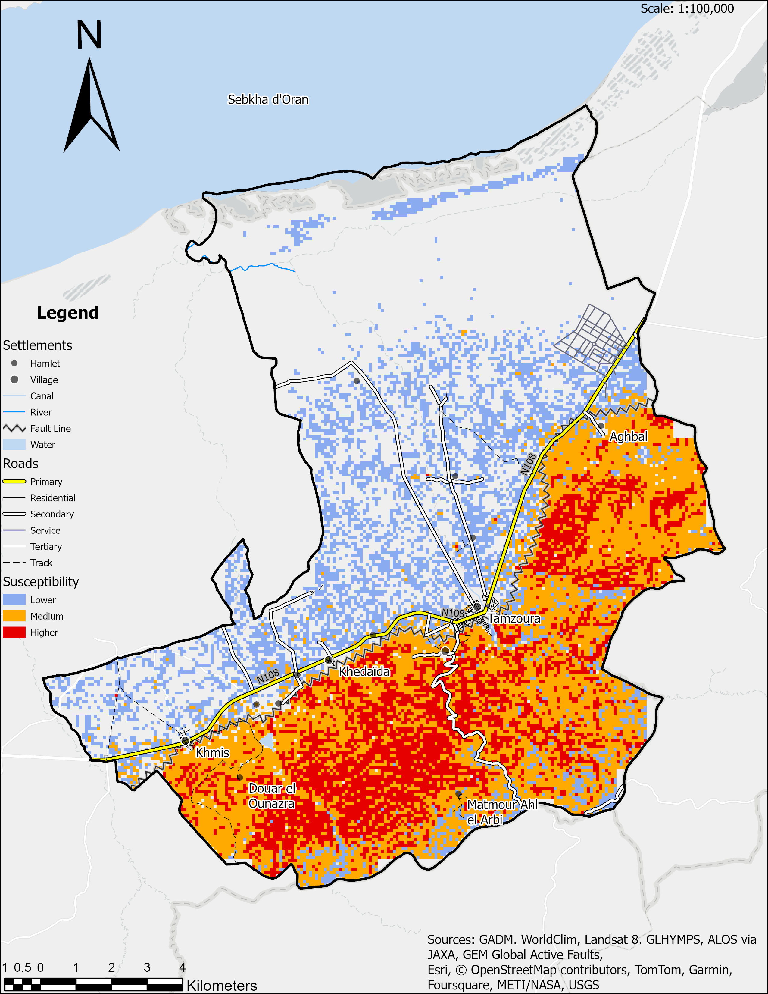
Using ArcGIS Pro to find the parts of Tamzoura most susceptible to landslides.

Pave the World
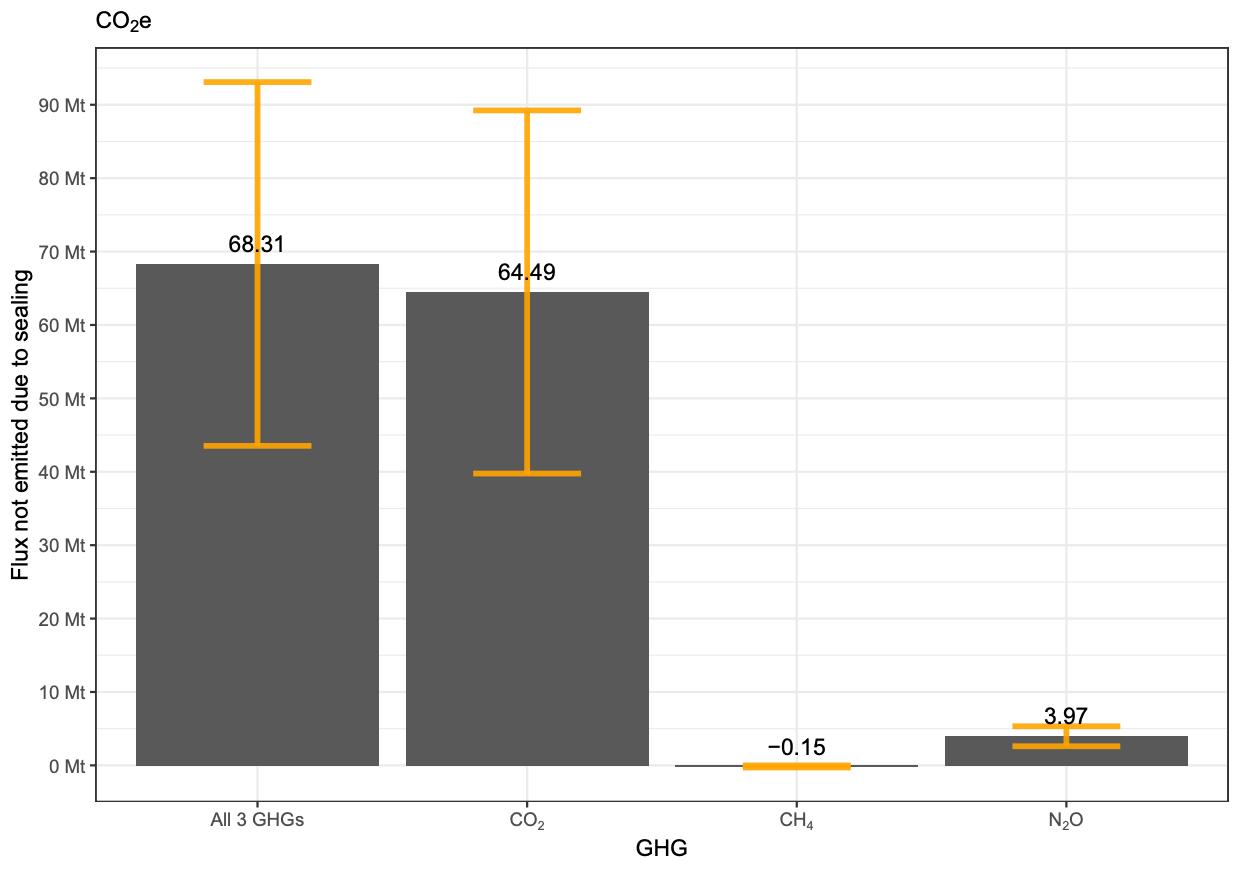
Calculating the greenhouse gas emissions from paving over soil with concrete.
